
Avilova A. S. Composing Retrospective Climatic Maps of the Regional Level Based on Monitoring Data from the 19th Century on the Example of Crimea as Part of the Russian Empire
Anna S. Avilova
Institute of History and Archaeology, Ural Branch of the Russian Academy of Sciences
Ekaterinburg, Russia
E-mail: annriver@mail.ru
ORCID: 0009-0007-5981-9431
![]() Download | Back to the Content № 1. 2023
Download | Back to the Content № 1. 2023
UDC 94(477.75):528.92
DOI: 10.58529/2782-6511-2023-2-1-60-77
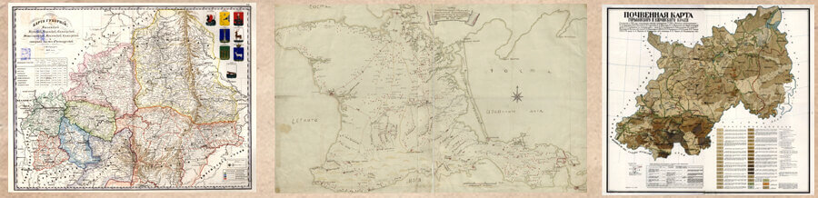
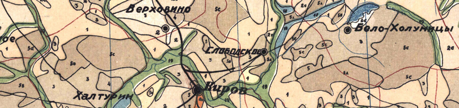
ABSTRACT. The article’s main topic is the ways of compiling retrospective (historically oriented) climate maps based on the monitoring data of meteorological stations of the 19th — early 20th centuries. To solve the problem, the author provides a review of sources that contain data on the climate of the Russian Empire in the 19th century. First of all, these are monitoring tables with various indicators: local temperature, precipitation and other information. The complexity of working with these sources and their poor demand in modern historiography are indicated. In view of the importance of climate in studying the development of a territory, its factor must be taken into account when studying various processes; hence, the need arises for the composition of original retrospective climate maps based on the data available from the sources. As a reference material, data on the climate of the Taurida province are used, on the basis of which maps of the average temperatures of January and July in the territory of Crimea were compiled. Due to the uneven distribution of monitoring stations on the peninsula, the author describes the course of his actions in calculating the temperature gradient and establishing temperature values at additional points. This makes it possible to compose isotherm maps. In these calculations, an important role belongs to the relief, which is especially important for the specifics of the Crimean region. The author also points out other factors in the formation of air temperature, including the role of water masses as a solar heat accumulator. Further actions are outlined for the construction of precipitation maps and the use of a set of climatic maps in historical and geographical research.
KEYWORDS: climate maps, retrospective mapping, climate sources
For citation: Avilova A. S. Composing Retrospective Climatic Maps of the Regional Level Based on Monitoring Data from the 19th Century on the Example of Crimea as Part of the Russian Empire // Historical Geography Journal. 2023. Vol. 2. № 1. P. 60–77.
REFERENCES
- Anisimov M. V., Byshev V. I., Zalesny V. B., Moshonkin S. N., Neiman V. G., Romanov Yu. A., Serykh I. V. [On Inter-Decadal Climate Oscillations in the North-Atlantic Region]. Sovremennyye problemy distantsionnogo zondirovaniya Zemli iz kosmosa [Current Problems in Remote Sensing of the Earth from Space], 2012, vol. 9, no. 2, pp. 304–311. (In Russian).
- Anichkina N. V., Rostom G. R. [The Degree of Influence of Ocean Surface Currents on Adjacent Land Climate]. Uspekhi sovremennogo yestestvoznaniya [Advances in Current Natural Sciences], 2016, no. 12-1, pp. 122–126. (In Russian).